Geolocate

Dharmavaram topographic map

Click on the map to display elevation.

Dharmavaram

Dharmavaram is located at 14°26′N 77°43′E / 14.43°N 77.72°E / 14.43; 77.72. It has an average elevation of 345 metres (1131 feet).

Wikipedia (CC-BY-SA 3.0)

About this map

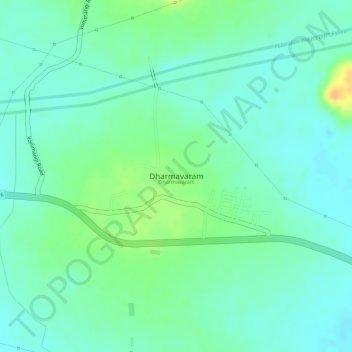
Name: Dharmavaram topographic map, elevation, terrain.

Location: Dharmavaram, Prathipadu, Kakinada, Andhra Pradesh, 533432, India (17.23127 82.22644 17.23137 82.22654)

Average elevation: 41 m

Minimum elevation: 29 m

Maximum elevation: 63 m

Gear up for your next adventure:

🧴Sunscreen SPF - Broad-spectrum sunscreen for outdoor activities
🥾Mountain Hiking Shoes - Shoes with superior grip for mountainous terrain
🍽️Titanium Camping Spork - Ultralight and indestructible eating utensil
Tent Footprint - Protect tent floor and increase durability
💧Hydration Bladder - Hands-free hydration solution for long treks

As an Amazon Associate, this site earns from qualifying purchases at no extra cost to you.