
Jajuara topographic map
Click on the map to display elevation.
Jajuara
The climate is mainly dry and cool. In summer the temperature varies from 35 °C (95 °F) to 45 °C (113 °F). In winter it is typically 5 °C (41 °F) to 15 °C (59 °F). The elevation is 51m close to sea level. The soil is suited for agriculture, which is the main economic activity of the region.
About this map
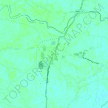
Name: Jajuara topographic map, elevation, terrain.
Location: Jajuara, Katra, Muzaffarpur, Bihar, 843318, India (26.28463 85.64877 26.32463 85.68877)
Average elevation: 53 m
Minimum elevation: 49 m
Maximum elevation: 58 m