
Make a donation
Gear up for your next adventure:
As an Amazon Associate, this site earns from qualifying purchases at no extra cost to you.
Mansfield topographic map
Click on the map to display elevation.
Make a donation
Gear up for your next adventure:
As an Amazon Associate, this site earns from qualifying purchases at no extra cost to you.
About this map
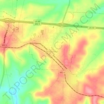
Name: Mansfield topographic map, elevation, terrain.
Location: Mansfield, Wright County, Missouri, United States (37.09268 -92.60128 37.12027 -92.55663)
Average elevation: 439 m
Minimum elevation: 378 m
Maximum elevation: 487 m
Make a donation
Gear up for your next adventure:
As an Amazon Associate, this site earns from qualifying purchases at no extra cost to you.
Other topographic maps
Click on a map to view its topography, its elevation and its terrain.
Mountain Grove
United States > Missouri > Wright County > Mountain Grove > Mountain Grove
This became known as the "mountain store, mountain grove or the mountain" due to its elevation of 1,525 feet (465 m). One of the most famous incidents in Mountain Grove occurred in the middle of May 1883, when what was called a "nipping frost" caused every tree, sapling and shrub in the community of Fyan and…
Average elevation: 436 m
Make a donation
Gear up for your next adventure:
As an Amazon Associate, this site earns from qualifying purchases at no extra cost to you.