Geolocate

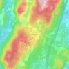
Randolph topographic map

Click on the map to display elevation.

About this map
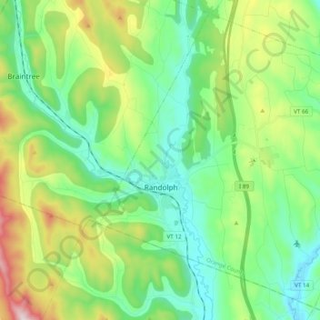
Name: Randolph topographic map, elevation, terrain.

Location: Randolph, Orange County, Vermont, United States (43.87312 -72.70284 44.00066 -72.51028)

Average elevation: 367 m

Minimum elevation: 160 m

Maximum elevation: 876 m

Other topographic maps

Click on a map to view its topography, its elevation and its terrain.

Lake Morey

United States > Vermont > Orange County > Fairlee

Average elevation: 205 m

East Topsham

United States > Vermont > Orange County > Topsham

Average elevation: 387 m

East Orange

United States > Vermont > Orange County > Orange

Average elevation: 477 m

Union Village

United States > Vermont > Orange County

Average elevation: 217 m

Thetford Hill

United States > Vermont > Orange County

Average elevation: 249 m

South Randolph

United States > Vermont > Orange County > Randolph

Average elevation: 268 m

Corinth Corners

United States > Vermont > Orange County > Corinth

Average elevation: 502 m

Thetford

United States > Vermont > Orange County > Thetford

Average elevation: 268 m

Annis Hill

United States > Vermont > Orange County > Chelsea

Average elevation: 511 m

West Newbury

United States > Vermont > Orange County > Newbury

Average elevation: 311 m

Cookville

United States > Vermont > Orange County > Corinth

Average elevation: 363 m

Mill Village

United States > Vermont > Orange County > Vershire

Average elevation: 429 m

Gear up for your next adventure:

🥽Outdoor Goggles - Protective eyewear for outdoor activities
🧊Insulated Water Bottle - Keeps drinks cold in summer and prevents freezing in winter
🧥Packable Rain Jacket - Breathable waterproof layer for unpredictable weather
🔥Emergency Fire Starter - Reliable ignition source for all weather conditions
❄️Traction Ice Cleats - Slip-on spikes for icy trails and winter hiking

As an Amazon Associate, this site earns from qualifying purchases at no extra cost to you.