Geolocate

Icota topographic map

Click on the map to display elevation.

About this map

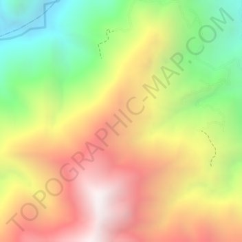
Name: Icota topographic map, elevation, terrain.

Location: Icota, Chitagá, Suroccidente, Norte de Santander, Colombia (7.22139 -72.60502 7.24139 -72.58502)

Average elevation: 2,402 m

Minimum elevation: 1,757 m

Maximum elevation: 2,960 m

Gear up for your next adventure:

👟Trail Running Shoes - Agile footwear for fast-paced topographic exploration
🩹Compact First Aid Kit - Pre-packed essentials for common trail injuries
🔋Solar Power Bank - Keep your GPS and devices charged during long outdoor trips
🍽️Titanium Camping Spork - Ultralight and indestructible eating utensil
🥾All-Terrain Hiking Boots - Versatile boots for varied hiking conditions

As an Amazon Associate, this site earns from qualifying purchases at no extra cost to you.