Geolocate

Yanıkses topographic map

Click on the map to display elevation.

About this map
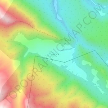
Name: Yanıkses topographic map, elevation, terrain.

Location: Yanıkses, Eruh, Siirt, Southeastern Anatolia Region, Turkey (37.69043 42.35143 37.73043 42.39143)

Average elevation: 1,566 m

Minimum elevation: 1,269 m

Maximum elevation: 2,058 m

Gear up for your next adventure:

🪜Heavy Duty Carabiners - Multi-use clips for securing gear to your backpack
🧰Multitool Knife - Compact and versatile tool for outdoor use
⛺Camping Tent - Weather-resistant tents suitable for 2 to 6 people
🦶Anti-Blister Balm - Prevents friction and hotspots during long ascents
⛺Lightweight Camping Tent - Portable shelter optimized for Canadian backcountry camping

As an Amazon Associate, this site earns from qualifying purchases at no extra cost to you.