
Morne Plat Pays topographic map
Interactive map
Click on the map to display elevation.
About this map
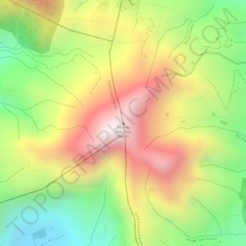
Name: Morne Plat Pays topographic map, elevation, terrain.
Location: Morne Plat Pays, Saint Luke Parish, Dominica (15.25058 -61.34549 15.25068 -61.34539)
Average elevation: 485 m
Minimum elevation: 37 m
Maximum elevation: 916 m