Geolocate

Lac Palma topographic map

Click on the map to display elevation.

About this map

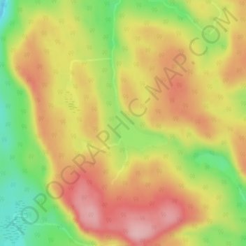
Name: Lac Palma topographic map, elevation, terrain.

Location: Lac Palma, Lac-Bazinet, Antoine-Labelle, Laurentides, Quebec, Canada (47.69594 -75.16022 47.70193 -75.15168)

Average elevation: 571 m

Minimum elevation: 476 m

Maximum elevation: 646 m

Antoine-Labelle trails, hiking, mountain biking, running and outdoor activities

Gear up for your next adventure:

💧Hydration Pack - Hands-free hydration system for long hikes
🥘Camping Cookware Set - Compact nesting pots and pans for trail cooking
🎒Fully Waterproof Backpack - Total protection for photography gear and electronics
🧰Emergency Multi-Tool - Compact multi-tool for outdoor survival
🥾Waterproof Hiking Boots - Essential footwear for rugged terrain and wet Canadian trails

As an Amazon Associate, this site earns from qualifying purchases at no extra cost to you.