Geolocate

Dagmar topographic map

Click on the map to display elevation.

About this map

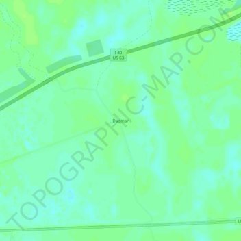
Name: Dagmar topographic map, elevation, terrain.

Location: Dagmar, Monroe County, Arkansas, United States (34.83621 -91.32068 34.87621 -91.28068)

Average elevation: 52 m

Minimum elevation: 46 m

Maximum elevation: 56 m

Other topographic maps

Click on a map to view its topography, its elevation and its terrain.

Roe

United States > Arkansas > Monroe County

Average elevation: 63 m

Gear up for your next adventure:

👟Trail Running Shoes - Agile footwear for fast-paced topographic exploration
Camping Groundsheet - Protect your tent from moisture and dirt
🧴First Aid Kit - Essential first aid supplies for outdoor emergencies
🥾Durable Hiking Shoes - Long-lasting shoes for frequent hiking
💡Solar Camping Lamp - Eco-friendly lighting for campsites

As an Amazon Associate, this site earns from qualifying purchases at no extra cost to you.