Geolocate

Vazhakkad topographic map

Click on the map to display elevation.

About this map

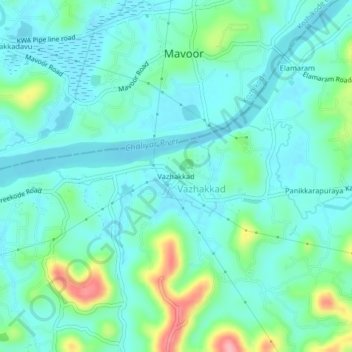
Name: Vazhakkad topographic map, elevation, terrain.

Location: Vazhakkad, Kondotty, Malappuram, Kerala, 673649, India (11.22683 75.93209 11.26683 75.97209)

Average elevation: 27 m

Minimum elevation: -1 m

Maximum elevation: 127 m

Gear up for your next adventure:

🧥Waterproof Pants - Keep dry during rainy hiking conditions
🪑Insulated Seat Pad - Protect your seat from cold rocks and wet logs
🧢Sun Protection Cap - Breathable cap to protect from sun exposure
🧴Bear Spray Holster - Quick-access carry for essential Canadian wilderness safety
🏕️Camping Hammock - Integrated protection for sleeping between trees

As an Amazon Associate, this site earns from qualifying purchases at no extra cost to you.