Geolocate

Koubru topographic map

Click on the map to display elevation.

About this map

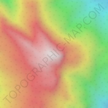
Name: Koubru topographic map, elevation, terrain.

Location: Koubru, Saitu-Gamphazol, Kangpokpi, Manipur, India (25.06300 93.87160 25.06310 93.87170)

Average elevation: 2,146 m

Minimum elevation: 1,579 m

Maximum elevation: 2,540 m

Gear up for your next adventure:

🥾Trail Running Shoes - Lightweight and durable shoes for trail running
🧤Thermal Hiking Gloves - Grip-enhanced gloves for cold-weather altitude trekking
🥾Light Hiking Boots - Lightweight and comfortable boots for day hikes
🧢Sun Hat - Wide-brim hat for sun protection
🥾Trail Hiking Shoes - Durable shoes designed for rugged trails

As an Amazon Associate, this site earns from qualifying purchases at no extra cost to you.