Geolocate

Tillman topographic map

Click on the map to display elevation.

About this map

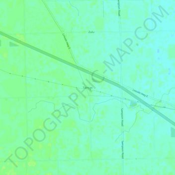
Name: Tillman topographic map, elevation, terrain.

Location: Tillman, Allen County, Indiana, 46773, United States (41.00422 -84.91330 41.04422 -84.87330)

Average elevation: 237 m

Minimum elevation: 232 m

Maximum elevation: 242 m

Gear up for your next adventure:

❄️Traction Ice Cleats - Slip-on spikes for icy trails and winter hiking
Family Camping Tent - Spacious tent suitable for family camping trips
🧥Ultralight Puffy Jacket - Maximum warmth that packs down to the size of an orange
🚑Survival Whistle - Signal for help across long distances in mountains
🥾Waterproof Hiking Boots - Essential footwear for rugged terrain and wet Canadian trails

As an Amazon Associate, this site earns from qualifying purchases at no extra cost to you.