
Coamazac topographic map
Interactive map
Click on the map to display elevation.
About this map
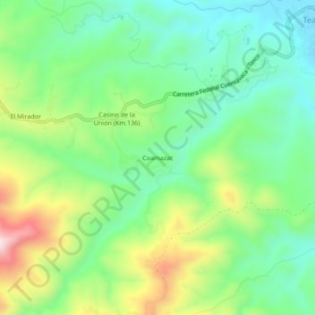
Name: Coamazac topographic map, elevation, terrain.
Location: Coamazac, Taxco de Alarcón, Guerrero, México (18.58222 -99.50194 18.62222 -99.46194)
Average elevation: 1,124 m
Minimum elevation: 981 m
Maximum elevation: 1,399 m