Geolocate

San Calixto topographic map

Click on the map to display elevation.

About this map

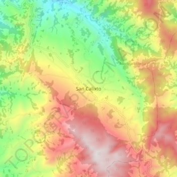
Name: San Calixto topographic map, elevation, terrain.

Location: San Calixto, Occidente, Norte de Santander, Colombia (8.36290 -73.24756 8.44290 -73.16756)

Average elevation: 1,619 m

Minimum elevation: 901 m

Maximum elevation: 2,366 m

Gear up for your next adventure:

🧦Thermal Socks - Warm socks for winter hiking or camping
🦶Anti-Blister Balm - Prevents friction and hotspots during long ascents
🩹Compact First Aid Kit - Pre-packed essentials for common trail injuries
🥾Lightweight Hiking Shoes - Comfortable shoes for day hikes
🔨Vehicle Emergency Tool - Safety tool for remote road trips to trailheads

As an Amazon Associate, this site earns from qualifying purchases at no extra cost to you.