
Make a donation
Gear up for your next adventure:
As an Amazon Associate, this site earns from qualifying purchases at no extra cost to you.
Mesa topographic map
Click on the map to display elevation.
Make a donation
Gear up for your next adventure:
As an Amazon Associate, this site earns from qualifying purchases at no extra cost to you.
About this map
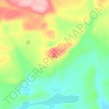
Name: Mesa topographic map, elevation, terrain.
Location: Mesa, Lago Buenos Aires, Santa Cruz Province, Argentina (-47.25971 -71.67209 -47.25961 -71.67199)
Average elevation: 475 m
Minimum elevation: 389 m
Maximum elevation: 597 m
Make a donation
Gear up for your next adventure:
As an Amazon Associate, this site earns from qualifying purchases at no extra cost to you.
Other topographic maps
Click on a map to view its topography, its elevation and its terrain.
Make a donation
Gear up for your next adventure:
As an Amazon Associate, this site earns from qualifying purchases at no extra cost to you.
Perito Moreno Glacier
Argentina > Santa Cruz Province
Occasionally, the glacial front does not completely obstruct the natural passage of water with an ice dam, but it approaches close enough to prevent water from passing freely, so without reaching elevation, an arm cut in Rico occurs. These events are classified as minor downloads. This is what happened in…
Average elevation: 1,451 m
Make a donation
Gear up for your next adventure:
As an Amazon Associate, this site earns from qualifying purchases at no extra cost to you.