
Antau/Otava topographic map
Interactive map
Click on the map to display elevation.
About this map
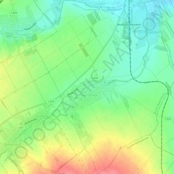
Name: Antau/Otava topographic map, elevation, terrain.
Location: Antau/Otava, Bezirk Mattersburg, Burgenland, 7042, Austria (47.75520 16.45947 47.79370 16.50616)
Average elevation: 197 m
Minimum elevation: 167 m
Maximum elevation: 241 m