Geolocate

Chuka topographic map

Click on the map to display elevation.

About this map
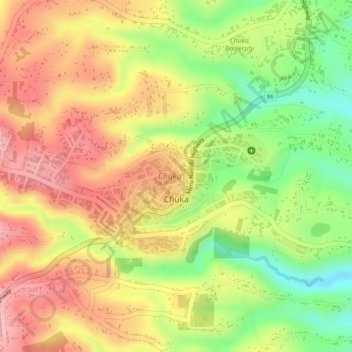
Name: Chuka topographic map, elevation, terrain.

Location: Chuka, Karingani ward, Chuka, Tharaka-Nithi, Kenya (-0.33775 37.63073 -0.32534 37.65708)

Average elevation: 1,413 m

Minimum elevation: 1,320 m

Maximum elevation: 1,478 m

Gear up for your next adventure:

🥾Lightweight Hiking Shoes - Comfortable shoes for day hikes
🥫Freeze-Dried Meals - Lightweight, high-calorie nutrition for multi-day treks
💡LED Camping Lantern - Illuminate your campsite with long-lasting lanterns
🛁Quick-Dry Microfiber Towel - Space-saving towel that dries rapidly on the move
🥽Outdoor Goggles - Protective eyewear for outdoor activities

As an Amazon Associate, this site earns from qualifying purchases at no extra cost to you.