
Llanes topographic map
Interactive map
Click on the map to display elevation.
About this map
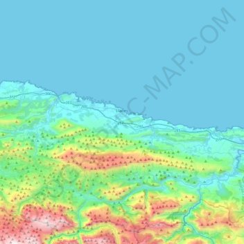
Name: Llanes topographic map, elevation, terrain.
Location: Llanes, Asturias, España (43.34924 -5.03039 43.46244 -4.57377)
Average elevation: 285 m
Minimum elevation: 0 m
Maximum elevation: 1,780 m