
Wabigoon River topographic map
Interactive map
Click on the map to display elevation.
About this map
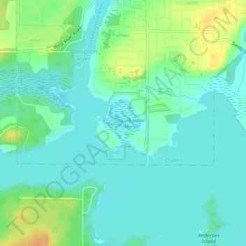
Name: Wabigoon River topographic map, elevation, terrain.
Location: Wabigoon River, Dryden, Kenora District, Ontario, Canada (49.76119 -92.84339 49.76644 -92.83745)
Average elevation: 376 m
Minimum elevation: 366 m
Maximum elevation: 399 m
Other topographic maps
Click on a map to view its topography, its elevation and its terrain.
Wabigoon Lake
Wabigoon Lake, Wood Street, Dryden, Kenora District, Northwestern Ontario, Ontario, P8N 1R4, Canada
Average elevation: 381 m