
Fulleda topographic map
Interactive map
Click on the map to display elevation.
About this map
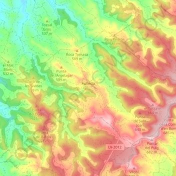
Name: Fulleda topographic map, elevation, terrain.
Location: Fulleda, Garrigas, Lérida, Cataluña, 25411, España (41.44039 0.99095 41.48163 1.07512)
Average elevation: 555 m
Minimum elevation: 420 m
Maximum elevation: 685 m