
Stewartville topographic map
Interactive map
Click on the map to display elevation.
About this map
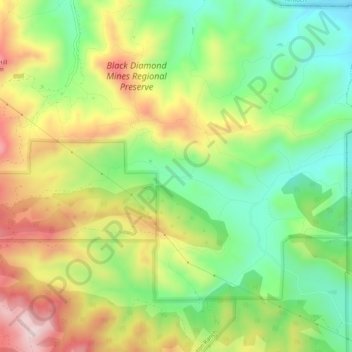
Name: Stewartville topographic map, elevation, terrain.
Location: Stewartville, Contra Costa County, California, USA (37.92631 -121.86857 37.96631 -121.82857)
Average elevation: 260 m
Minimum elevation: 79 m
Maximum elevation: 499 m