
Norðurþing topographic map
Interactive map
Click on the map to display elevation.
About this map
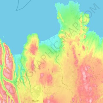
Name: Norðurþing topographic map, elevation, terrain.
Location: Norðurþing, Northeastern Region, Iceland (65.48116 -17.44461 66.53786 -15.64885)
Average elevation: 248 m
Minimum elevation: -3 m
Maximum elevation: 1,170 m