
Apachita topographic map
Interactive map
Click on the map to display elevation.
About this map
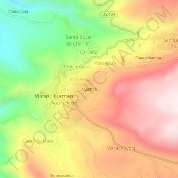
Name: Apachita topographic map, elevation, terrain.
Location: Apachita, Alto Perú, Vilcas Huamán, Ayacucho, Perú (-13.67162 -73.96573 -13.63162 -73.92573)
Average elevation: 3,500 m
Minimum elevation: 3,086 m
Maximum elevation: 3,848 m