
Amapala topographic map
Interactive map
Click on the map to display elevation.
About this map
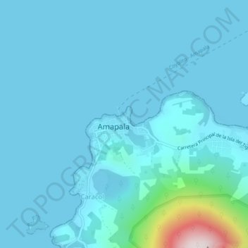
Name: Amapala topographic map, elevation, terrain.
Location: Amapala, Valle, Honduras (13.27328 -87.67160 13.31328 -87.63160)
Average elevation: 63 m
Minimum elevation: 0 m
Maximum elevation: 768 m