
御代田町 topographic map
Interactive map
Click on the map to display elevation.
About this map
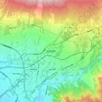
Name: 御代田町 topographic map, elevation, terrain.
Location: 御代田町, 北佐久郡, Prefectura de Nagano, 385-0009, Japón (36.28260 138.46716 36.36260 138.54716)
Average elevation: 904 m
Minimum elevation: 702 m
Maximum elevation: 1,299 m