
Oriental ⵜⴰⵏⴳⵎⵓⴹⵜ الشرقية topographic map
Interactive map
Click on the map to display elevation.
About this map
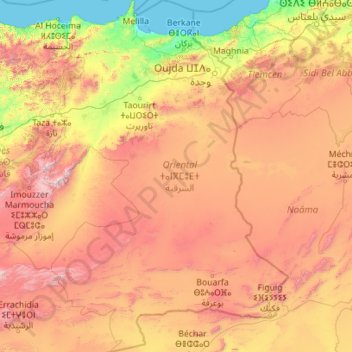
Name: Oriental ⵜⴰⵏⴳⵎⵓⴹⵜ الشرقية topographic map, elevation, terrain.
Location: Oriental ⵜⴰⵏⴳⵎⵓⴹⵜ الشرقية, Marrocos (31.71362 -4.12313 35.44014 -0.99843)
Average elevation: 984 m
Minimum elevation: 0 m
Maximum elevation: 3,221 m