
Gestel topographic map
Interactive map
Click on the map to display elevation.
About this map
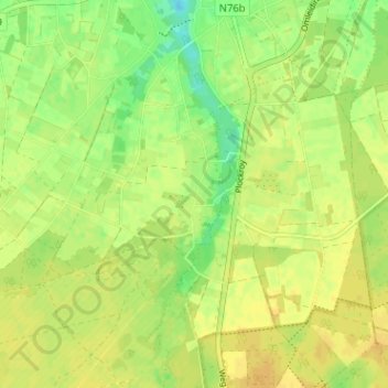
Name: Gestel topographic map, elevation, terrain.
Location: Gestel, Meeuwen, Oudsbergen, Limburg, Flanders, 3670, Belgium (51.05262 5.49790 51.09262 5.53790)
Average elevation: 75 m
Minimum elevation: 60 m
Maximum elevation: 82 m