Geolocate

Ashcake topographic map

Click on the map to display elevation.

About this map

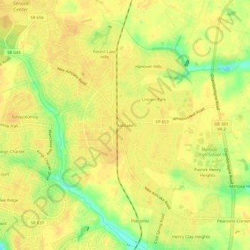
Name: Ashcake topographic map, elevation, terrain.

Location: Ashcake, Hanover County, Virginia, 23116, United States (37.67181 -77.42248 37.71181 -77.38248)

Average elevation: 58 m

Minimum elevation: 36 m

Maximum elevation: 66 m

Gear up for your next adventure:

🥾Mountaineering Boots - Supportive boots for climbing and high-altitude hiking
🧭GPS Handheld Device - Reliable GPS navigation for outdoor adventures
Camping Coffee Maker - Brew fresh coffee anywhere on the topographic map
🦟Insect Repellent - Keep mosquitoes and black flies away in wooded areas
🕶️Polarized Sunglasses - Reduces glare from snow and water at high elevations

As an Amazon Associate, this site earns from qualifying purchases at no extra cost to you.