
Montcerf-Lytton topographic map
Click on the map to display elevation.
About this map
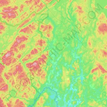
Name: Montcerf-Lytton topographic map, elevation, terrain.
Average elevation: 245 m
Minimum elevation: 161 m
Maximum elevation: 426 m
La Vallée-de-la-Gatineau trails, hiking, mountain biking, running and outdoor activities
Other topographic maps
Click on a map to view its topography, its elevation and its terrain.