Geolocate

Butler Beach topographic map

Click on the map to display elevation.

About this map

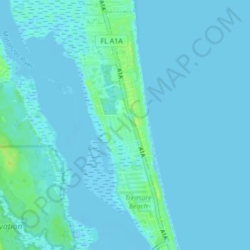
Name: Butler Beach topographic map, elevation, terrain.

Location: Butler Beach, Saint Johns County, Florida, United States (29.76914 -81.28001 29.82189 -81.25188)

Average elevation: 2 m

Minimum elevation: -3 m

Maximum elevation: 12 m

Gear up for your next adventure:

🥾Mountaineering Boots - Supportive boots for climbing and high-altitude hiking
💧Collapsible Water Bottle - Space-saving water bottle for outdoor activities
🚲Handlebar Phone Mount - View topographic-map.com live while cycling
🛶Kayak Accessories - Essential gear for safe and fun kayaking adventures
🔭Outdoor Binoculars - Lightweight binoculars for birdwatching and hiking

As an Amazon Associate, this site earns from qualifying purchases at no extra cost to you.