Geolocate

Peach topographic map

Click on the map to display elevation.

About this map

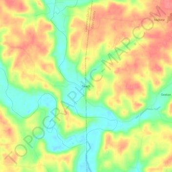
Name: Peach topographic map, elevation, terrain.

Location: Peach, Giles County, Tennessee, United States (35.02619 -87.24418 35.06619 -87.20418)

Average elevation: 229 m

Minimum elevation: 190 m

Maximum elevation: 264 m

Gear up for your next adventure:

🥾Trekking Poles - Adjustable trekking poles to reduce knee stress and improve stability
🧶550 Survival Paracord - Versatile utility cord for emergency repairs and rigging
🎒Hiking Backpack - Lightweight and ergonomic backpacks for day hikes or multi-day treks
🛶Kayak Dry Bag - Waterproof storage for kayaking adventures
🧥Packable Rain Jacket - Breathable waterproof layer for unpredictable weather

As an Amazon Associate, this site earns from qualifying purchases at no extra cost to you.