
Mosquera topographic map
Interactive map
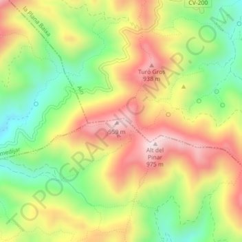
Click on the map to display elevation.
About this map
Name: Mosquera topographic map, elevation, terrain.
Average elevation: 717 m
Minimum elevation: 484 m
Maximum elevation: 962 m
Other topographic maps
Click on a map to view its topography, its elevation and its terrain.
Carrascal
España > Comunidad Valenciana > Azuébar
Carrascal, Azuébar, El Alto Palancia, Castellón, Comunidad Valenciana, España
Average elevation: 589 m