
Howe Island topographic map
Click on the map to display elevation.
About this map
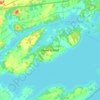
Name: Howe Island topographic map, elevation, terrain.
Average elevation: 83 m
Minimum elevation: 72 m
Maximum elevation: 138 m
Frontenac County trails, hiking, mountain biking, running and outdoor activities
Other topographic maps
Click on a map to view its topography, its elevation and its terrain.
Ferguson Point
Canada > Ontario > Frontenac County > Frontenac Islands > Marysville
Average elevation: 75 m