Geolocate

Turón topographic map

Click on the map to display elevation.

About this map

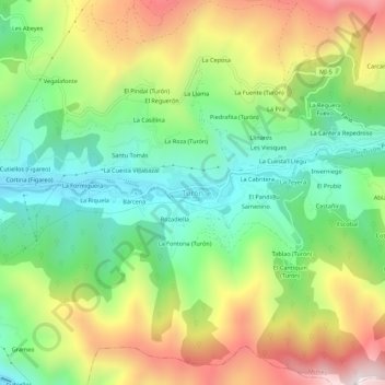
Name: Turón topographic map, elevation, terrain.

Location: Turón, Mieres, Asturias, 33610, España (43.18927 -5.76208 43.22927 -5.72208)

Average elevation: 567 m

Minimum elevation: 248 m

Maximum elevation: 1,042 m

Gear up for your next adventure:

🔦LED Headtorch - Bright and durable light for night activities
🧰Multitool Knife - Compact and versatile tool for outdoor use
🧥Ultralight Puffy Jacket - Maximum warmth that packs down to the size of an orange
🚲Heavy Duty Bike Lock - Secure your bike at the trailhead or during stops
🔥Camping Stove - Portable stoves to cook outdoors with ease

As an Amazon Associate, this site earns from qualifying purchases at no extra cost to you.