Geolocate

Les Terries topographic map

Click on the map to display elevation.

About this map
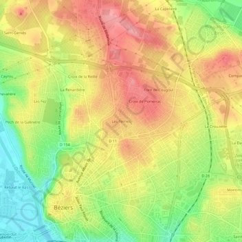
Name: Les Terries topographic map, elevation, terrain.

Location: Les Terries, Béziers, Hérault, Occitanie, France métropolitaine, 34500, France (43.33687 3.20627 43.37687 3.24627)

Average elevation: 67 m

Minimum elevation: 8 m

Maximum elevation: 115 m

Other topographic maps

Click on a map to view its topography, its elevation and its terrain.

34500

France > Occitanie > Hérault > Béziers

Average elevation: 43 m

Gear up for your next adventure:

🥾Mountaineering Boots - Supportive boots for climbing and high-altitude hiking
🔋Lithium AA Batteries - Long-lasting power that performs in extreme cold
🛏️Sleeping Bag - Warm and compact sleeping bags for outdoor camping
⛺Lightweight Backpacking Tent - Compact tent for efficient hiking trips
🦟Insect Repellent - Keep mosquitoes and black flies away in wooded areas

As an Amazon Associate, this site earns from qualifying purchases at no extra cost to you.