
Penrhosfeilw topographic map
Interactive map
Click on the map to display elevation.
About this map
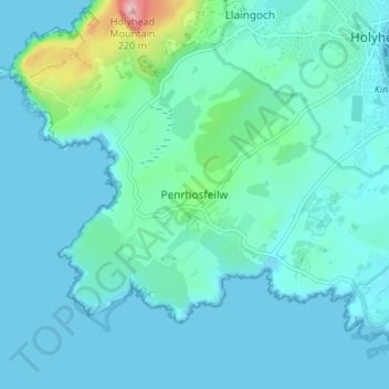
Name: Penrhosfeilw topographic map, elevation, terrain.
Location: Penrhosfeilw, Isle of Anglesey, Gales, LL65 2LT, Reino Unido (53.27444 -4.68491 53.31444 -4.64491)
Average elevation: 27 m
Minimum elevation: -1 m
Maximum elevation: 217 m