Geolocate

Bassetts topographic map

Click on the map to display elevation.

About this map

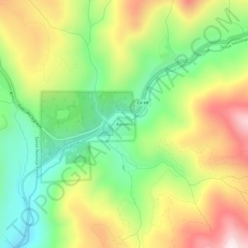
Name: Bassetts topographic map, elevation, terrain.

Location: Bassetts, Sierra County, California, 96125, United States (39.59649 -120.60766 39.63649 -120.56766)

Average elevation: 1,823 m

Minimum elevation: 1,528 m

Maximum elevation: 2,209 m

Gear up for your next adventure:

🪑Insulated Seat Pad - Protect your seat from cold rocks and wet logs
🚲Heavy Duty Bike Lock - Secure your bike at the trailhead or during stops
Lightweight Backpacking Tent - Compact tent for efficient hiking trips
🦌Outdoor Trail Camera - Monitor wildlife activity near your favorite spots
💧Hydration Pack - Hands-free hydration system for long hikes

As an Amazon Associate, this site earns from qualifying purchases at no extra cost to you.