Geolocate

Mauk Timur topographic map

Click on the map to display elevation.

About this map

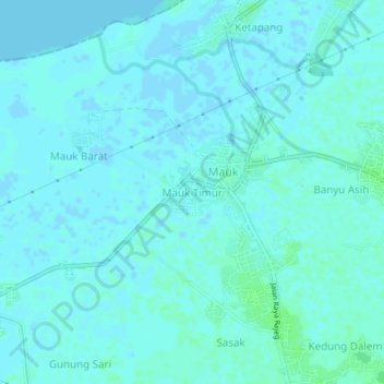
Name: Mauk Timur topographic map, elevation, terrain.

Location: Mauk Timur, Tangerang Regency, Banten, Indonesia (-6.08121 106.48642 -6.04121 106.52642)

Average elevation: 2 m

Minimum elevation: -3 m

Maximum elevation: 6 m

Gear up for your next adventure:

🔥Camping Stove - Portable stoves to cook outdoors with ease
🚲MTB Frame Bag - Carry tools and maps directly on your bicycle frame
🥾Waterproof Hiking Boots - Essential footwear for rugged terrain and wet Canadian trails
🧦Hiking Liner Socks - Thin base layer to prevent friction and blisters
Camping Tent - Weather-resistant tents suitable for 2 to 6 people

As an Amazon Associate, this site earns from qualifying purchases at no extra cost to you.