Geolocate

Stickleyville topographic map

Click on the map to display elevation.

About this map

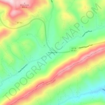
Name: Stickleyville topographic map, elevation, terrain.

Location: Stickleyville, Lee County, Virginia, United States (36.68704 -82.92711 36.72704 -82.88711)

Average elevation: 585 m

Minimum elevation: 419 m

Maximum elevation: 814 m

Gear up for your next adventure:

💡Portable Camping Lamp - Rechargeable lamp for campsite lighting
🥾Lightweight Hiking Shoes - Comfortable shoes for day hikes
🚲Bike Repair Kit - Essential tools for on-trail mechanical issues
🥾Hiking Boots - Sturdy boots providing ankle support and traction on rugged trails
🎒Fully Waterproof Backpack - Total protection for photography gear and electronics

As an Amazon Associate, this site earns from qualifying purchases at no extra cost to you.