
Singleton topographic map
Click on the map to display elevation.
About this map
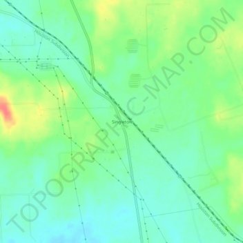
Name: Singleton topographic map, elevation, terrain.
Location: Singleton, Grimes County, Texas, 77875, United States (30.63214 -95.97856 30.67214 -95.93856)
Average elevation: 104 m
Minimum elevation: 85 m
Maximum elevation: 140 m