Geolocate

Hornuyoc topographic map

Click on the map to display elevation.

About this map

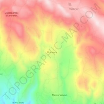
Name: Hornuyoc topographic map, elevation, terrain.

Location: Hornuyoc, Los Baños del Inca, Cajamarca, Perú (-7.10858 -78.49324 -7.06858 -78.45324)

Average elevation: 3,186 m

Minimum elevation: 2,888 m

Maximum elevation: 3,405 m

Gear up for your next adventure:

Lightweight Backpacking Tent - Compact tent for efficient hiking trips
🧥Thermal Layer - Insulating layer for cold outdoor conditions
🥾Trail Running Boots - Durable shoes designed for trail running
🧢Outdoor Visor - Breathable visor for sunny hikes
Tent Footprint - Protect tent floor and increase durability

As an Amazon Associate, this site earns from qualifying purchases at no extra cost to you.