
Ardennes topographic map
Click on the map to display elevation.
Ardennes
The region was uplifted by a mantle plume during the last few hundred thousand years, as measured from the present elevation of old river terraces.
About this map
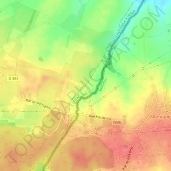
Name: Ardennes topographic map, elevation, terrain.
Average elevation: 659 m
Minimum elevation: 616 m
Maximum elevation: 701 m