
Egilsstaðir topographic map
Interactive map
Click on the map to display elevation.
About this map
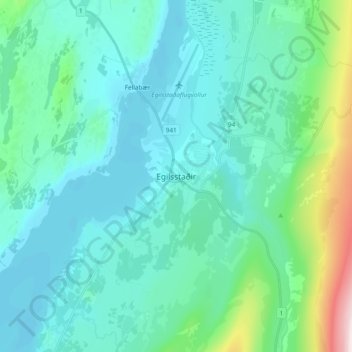
Name: Egilsstaðir topographic map, elevation, terrain.
Location: Egilsstaðir, Múlaþing, Austurland, 700, Islande (65.22204 -14.44353 65.30204 -14.36353)
Average elevation: 99 m
Minimum elevation: 11 m
Maximum elevation: 588 m