Geolocate

Bhadravati topographic map

Click on the map to display elevation.

About this map

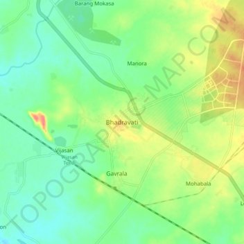
Name: Bhadravati topographic map, elevation, terrain.

Location: Bhadravati, Chandrapur, Maharashtra, India (20.06646 79.07571 20.14646 79.15571)

Average elevation: 203 m

Minimum elevation: 183 m

Maximum elevation: 237 m

Gear up for your next adventure:

🩹Moleskin Blister Pads - Direct protection for painful foot pressure points
🦟Insect Repellent - Keep mosquitoes and black flies away in wooded areas
🧢Sun Protection Cap - Breathable cap to protect from sun exposure
Camping Tent - Weather-resistant tents suitable for 2 to 6 people
🧦Hiking Socks - Moisture-wicking and comfortable socks for long hikes

As an Amazon Associate, this site earns from qualifying purchases at no extra cost to you.