Geolocate

Rodriquez topographic map

Click on the map to display elevation.

About this map

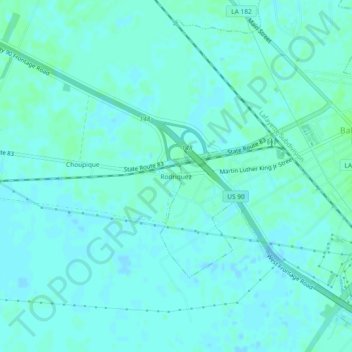
Name: Rodriquez topographic map, elevation, terrain.

Location: Rodriquez, St. Mary Parish, Louisiana, 70514, United States (29.81271 -91.58789 29.85271 -91.54789)

Average elevation: 3 m

Minimum elevation: -2 m

Maximum elevation: 7 m

Gear up for your next adventure:

🧥Softshell Jacket - Windproof and breathable jacket for hiking
🧴Insect Repellent - Protect yourself from bugs during outdoor adventures
👟Sport Hiking Sandals - Breathable footwear for water crossings and camp rest
🥾Waterproof Trail Shoes - Shoes designed to handle wet terrain
👟Leg Gaiters - Keep debris, mud, and snow out of your boots

As an Amazon Associate, this site earns from qualifying purchases at no extra cost to you.