Geolocate

Dumoga River topographic map

Click on the map to display elevation.

About this map

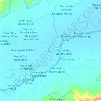
Name: Dumoga River topographic map, elevation, terrain.

Location: Dumoga River, Pinonobatuan, North Sulawesi, Indonesia (0.53527 123.98289 0.58329 124.05946)

Average elevation: 161 m

Minimum elevation: 124 m

Maximum elevation: 677 m

Gear up for your next adventure:

🥾Light Hiking Boots - Lightweight and comfortable boots for day hikes
🛌Down Sleeping Bag - Superior warmth-to-weight ratio for cold nights
🧦Outdoor Socks - Durable socks designed for hiking and outdoor sports
Backpacking Tent - Lightweight tent for long-distance hiking trips
🕶️Polarized Sunglasses - Reduces glare from snow and water at high elevations

As an Amazon Associate, this site earns from qualifying purchases at no extra cost to you.