
Chelsea topographic map
Click on the map to display elevation.
About this map
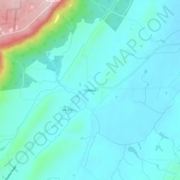
Name: Chelsea topographic map, elevation, terrain.
Location: Chelsea, Chattooga County, Georgia, 30731, United States (34.50342 -85.46024 34.54342 -85.42024)
Average elevation: 269 m
Minimum elevation: 218 m
Maximum elevation: 511 m