Geolocate

Luther topographic map

Click on the map to display elevation.

About this map

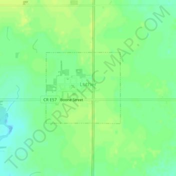
Name: Luther topographic map, elevation, terrain.

Location: Luther, Boone County, Iowa, 50152, United States (41.96148 -93.82528 41.97240 -93.80998)

Average elevation: 333 m

Minimum elevation: 323 m

Maximum elevation: 340 m

Other topographic maps

Click on a map to view its topography, its elevation and its terrain.

Ledges State Park

United States > Iowa > Boone County

Average elevation: 308 m

Gear up for your next adventure:

🥾Hiking Shorts - Breathable shorts suitable for summer hikes
🛶Waterproof Dry Bags - Keep electronics and clothes dry during river crossings
🪑Insulated Seat Pad - Protect your seat from cold rocks and wet logs
🚲Heavy Duty Bike Lock - Secure your bike at the trailhead or during stops
🥾Hiking Shoes - Durable and comfortable shoes for trail hiking

As an Amazon Associate, this site earns from qualifying purchases at no extra cost to you.