
Make a donation
Gear up for your next adventure:
As an Amazon Associate, this site earns from qualifying purchases at no extra cost to you.
Magdalena topographic map
Click on the map to display elevation.
Make a donation
Gear up for your next adventure:
As an Amazon Associate, this site earns from qualifying purchases at no extra cost to you.
Magdalena
The Very Large Array lies 24 miles due west of the community. The Magdalena Ridge Observatory lies 25 miles southeast at an elevation of 10,600 feet. Magdalena is located 26 miles west of Socorro.
Make a donation
Gear up for your next adventure:
As an Amazon Associate, this site earns from qualifying purchases at no extra cost to you.
About this map
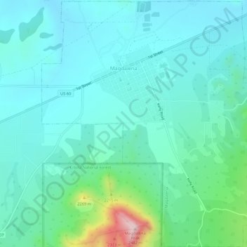
Name: Magdalena topographic map, elevation, terrain.
Location: Magdalena, Socorro County, New Mexico, United States (34.08515 -107.26104 34.12899 -107.20786)
Average elevation: 2,056 m
Minimum elevation: 1,964 m
Maximum elevation: 2,482 m
Make a donation
Gear up for your next adventure:
As an Amazon Associate, this site earns from qualifying purchases at no extra cost to you.