
Lê Lợi topographic map
Interactive map
Click on the map to display elevation.
About this map
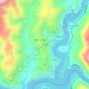
Name: Lê Lợi topographic map, elevation, terrain.
Location: Lê Lợi, Sìn Hồ, Province de Lai Châu, Viêt Nam (22.07233 103.13585 22.11233 103.17585)
Average elevation: 376 m
Minimum elevation: 169 m
Maximum elevation: 887 m